Airborne LiDAR survey
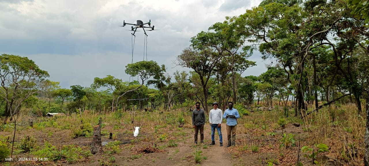
UAV LiDAR for mine and quarry volumetrics, terrain modelling, contour generation and area-wide elevation coverage under cloud, canopy or night conditions.
LiDAR survey detail
Airborne survey & inspection
Arkman Dynamics Private Limited flies survey-grade LiDAR and magnetometer payloads for mineral exploration, mine planning and infrastructure, and delivers thermographic solar PV inspection with SolarMark.
What we do
Every assignment is planned, flown, processed and reported in-house, so the numbers in the report can be traced back to the raw observations.
UAV LiDAR for mine and quarry volumetrics, terrain modelling, contour generation and area-wide elevation coverage under cloud, canopy or night conditions.
LiDAR survey detailLow-altitude magnetic surveys for iron ore, manganese, base metal and gold exploration, with anomaly maps and drill-ready target delineation.
Magnetometer detailRadiometric thermal drone inspection of solar plants with classified anomalies, georeferenced defect registers and per-plant reporting, delivered with SolarMark.
Solar inspection detailVisual and thermal drone inspection of rooftops, towers, structures and industrial assets, with photogrammetric 3D models and located defect lists.
Inspection detailHands-on training for survey teams and institutions: mission planning, GNSS control, payload handling, point cloud processing and deliverable QA.
Training outlineSend us the site boundary and the question you are trying to answer. We will recommend the sensor, flying parameters and deliverable set before you commit.
Talk to a surveyorWhy Arkman
Mining and infrastructure decisions are only as good as the survey behind them. We keep the chain from control point to final raster documented and repeatable.
How a job runs
A typical mobilisation is four to six weeks from award to final deliverables, depending on area, terrain and permitting.
Site boundary, target geological or structural question, expected accuracy and deliverables are fixed in writing before mobilisation.
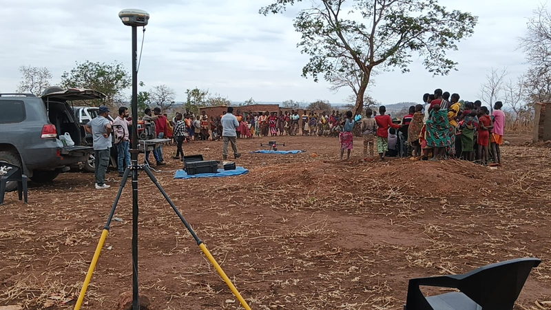
Equipment, crew and safety clearances move to site; GNSS base and ground control points are established and verified.
Systematic flight lines are flown with GNSS/IMU logging, in-line quality checks and re-flights on the spot where coverage gaps appear.
Point clouds are calibrated, filtered and classified; rasters, grids, maps and the final report are issued with stated accuracy and coverage.
From the field
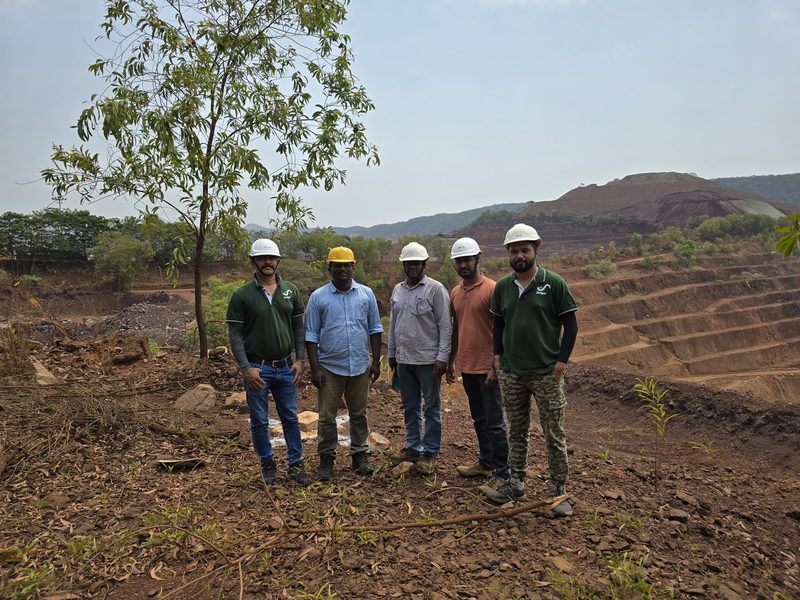
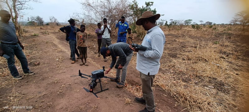
Forest blocks, laterite benches and mine haul roads — the survey teams fly and walk the same ground they map.
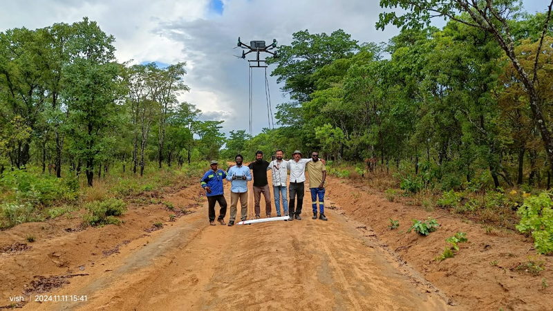
Thermal drone inspection of solar plants, delivered as classified anomaly registers and plant-level reports. Schedules and scope are handled through SolarMark (solarmark.in).
Sectors & clients
Our work supports mineral exploration programmes, operating mines and solar power plants across India.
Client names, marks and project references are listed on the clients page.
Common questions
LiDAR acquisition typically runs at up to 1,200 hectares per day on open ground, subject to terrain, vegetation density, airspace clearances and battery or crew rotation. Dense canopy and stepped mine benches reduce the daily rate.
Vertical accuracy is quoted against ground control points on the site and verified before delivery. The achievable figure depends on flight height, canopy, terrain relief and control density; the measured value is stated in the report.
Yes. LiDAR is the reason to choose a laser payload: a proportion of pulses reaches the ground through gaps in the canopy, producing terrain points where photogrammetry alone fails. Ground point density under heavy canopy is lower, and we report it honestly.
We mobilise across India. Field crews travel with the equipment, and local support, accommodation and clearances are planned with the client before the survey window opens.
Yes. Survey geometry, coordinates, imagery and results are treated as confidential client information and are covered by the project agreement.
Tell us the area, the terrain and what the numbers will be used for. We will come back with a recommended sensor, flying plan and deliverable list.